Meta Description:
Discover how Gold Rush miners navigated mountains, deserts, and deadly river valleys without modern maps or GPS. Explore the real maps, hand-drawn guides, symbols, and survival tricks that shaped the 1850s search for gold across America.
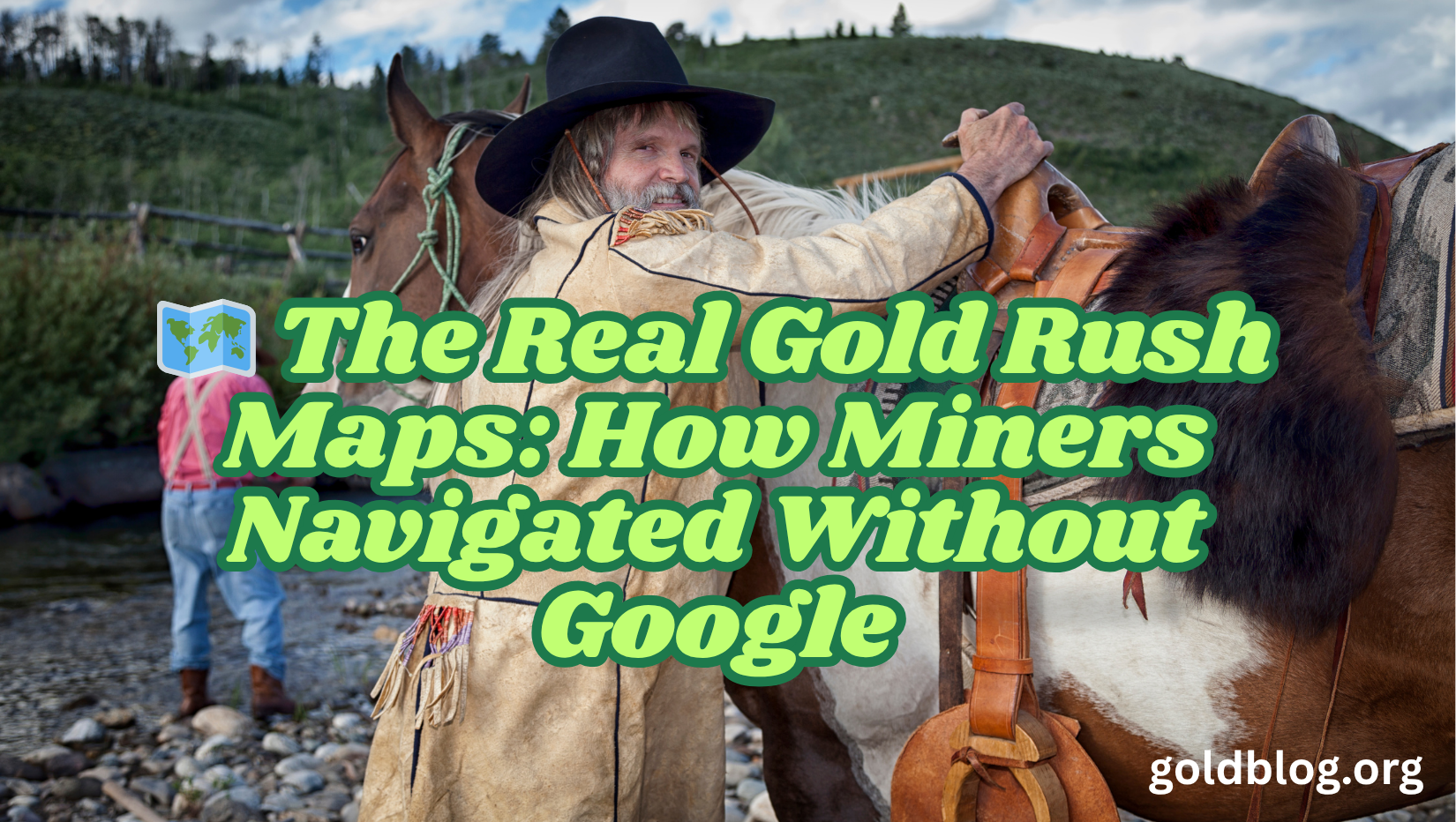
The Real Gold Rush Maps: How Miners Navigated Without Google
Today, we open Google Maps, punch in an address, and follow a blinking blue dot wherever we want to go. But imagine navigating wild mountains, deep forests, and dangerous canyons with no roads, no technology, and barely any reliable maps.
Welcome to the California Gold Rush of 1848–1855.
Tens of thousands of fortune-seekers traveled across the American West with nothing more than:
- Rumors
- Word-of-mouth directions
- Hand-sketched maps
- Mistaken landmarks
- Old Native trails
- And pure luck
The result?
A chaotic, dangerous, and often deadly journey into the unknown.
But the real maps miners used tell an incredible story of survival, improvisation, and frontier courage.
Let’s explore how miners navigated thousands of miles without GPS, highways, or even reliable compasses—and how these maps shaped the most dramatic migration in American history.
🌄 1. Early Gold Rush Maps Were Mostly… Wrong
When James Marshall discovered gold in 1848, word spread faster than mapmakers could keep up. This meant the first rush of miners depended on maps that were:
- Incomplete
- Inaccurate
- Pure guesswork
- Centuries old
- Or made by people who had never been to California
One miner wrote:
“My map showed a river that did not exist and failed to show a mountain that nearly killed me.”
Early maps also mixed Spanish place names, Indigenous names, and Anglo-American labels, creating total confusion.
Imagine navigating a desert with three different names for the same valley.
🖋️ 2. Hand-Sketched Miner Maps: The Most Valuable Tool on the Frontier
Because printed maps were unreliable, miners drew their own.
These hand-drawn Gold Rush maps were usually made on:
- Scraps of leather
- Newspaper
- Loose paper
- Canvas
- Shirt fabric
- Tin sheets
They used charcoal, pencil, and sometimes burnt wood to draw them.
What these maps included:
- Trails
- Rivers
- Water sources
- Mining camps
- Supply stations
- Dangerous zones
- Landmarks like “Bent Pine Tree” or “Split Rock”
- Directions like “follow the sound of rushing water”
These maps were passed from miner to miner—sometimes sold for gold dust, sometimes traded for food, sometimes shared as goodwill.
They were incredibly valuable—and often life-saving.
🏞️ 3. Native American Trails: The Original GPS
Long before settlers arrived, Indigenous tribes had mapped the land for hunting, gathering, and seasonal migration. Many Gold Rush miners unknowingly traveled along:
- Miwok trails
- Pomo routes
- Shoshone trading paths
- Paiute waterway tracks
- Yurok river trails
These routes were expertly chosen for:
- Accessible terrain
- Water access
- Safe crossing points
- Seasonal weather patterns
Unfortunately, many miners misunderstood or misused these trails, sometimes leading to conflict.
But without Native knowledge—formal or borrowed—many miners would never have reached the goldfields at all.
🧭 4. Compass? Maybe. Luck? Definitely.
A surprising number of Gold Rush migrants didn’t own compasses. Many bought cheap ones that broke during the journey.
So miners used natural signs:
To find direction:
- Moss on trees
- Movement of the sun
- Position of stars
- The North Star at night
To find water:
- Following animal tracks
- Watching bird flight paths
- Digging near dry riverbeds
To find gold:
- Listening for the sound of rivers
- Following quartz outcroppings
- Identifying shiny sandbars
- Tracking gullies that collected runoff sediments
This wasn’t science—it was survival instinct mixed with frontier wisdom.
🏜️ 5. The Famous “Fool-Killer Maps” That Led Miners Astray
The 1850s had no shortage of scammers.
Some opportunists created fake maps to nonexistent “secret gold mines,” selling them to desperate miners.
These maps often included:
- Fake rivers
- Fake towns
- Exaggerated gold deposits
- Cartoon-like symbols
- Mysterious X’s promising “untold riches”
These maps were known as “Fool-Killers,” because they sent miners deep into dangerous territory with no gold and no way back.
One infamous fake map pointed miners toward a fictional “Golden Canyon” that led straight into impassable mountains.
🏰 6. Spanish Treasure Maps Resurfaced—And Caused Chaos
The Gold Rush rediscovered old Spanish and Mexican-era maps showing:
- Lost missions
- Abandoned mines
- Early routes
- Silver veins
- Hidden trails
Some miners obsessed over these maps, convinced that ancient treasure awaited them. Stories of:
- The Lost Padre Mine
- The Lost Mission Vault
- The Lost Galleon Treasure
drove miners into deserts, mountains, and valleys with little food and poor equipment.
Few found treasure. Many found danger.
🗺️ 7. The Overland Trail Maps: Thousands of Miles of Guesswork
Gold-seekers heading west followed large wagon routes such as:
- The Oregon Trail
- The California Trail
- The Mormon Trail
- The Gila Trail
But maps varied wildly.
Problems included:
- Wrong river directions
- Incorrect mountain widths
- Missing landmarks
- Dangerous shortcuts
- Outdated information
Many maps showed:
- Lakes that had dried
- Rivers that had changed course
- Towns that never existed
- “Safe passes” that were cliffs
No wonder thousands got lost.
🚢 8. Sea Routes Had Maps Too — But They Were Terrifying
Miners who chose to sail around South America used nautical maps that were:
- Weather-beaten
- Incomplete
- Dangerous near Cape Horn
- Often based on old Spanish charts
Storms wrecked dozens of Gold Rush ships. Some smashed into rocks recorded incorrectly on maps. Others sank in uncharted waters.
Miners joked:
“Finding California by sea is harder than finding gold in a storm.”
🏔️ 9. Landmark Maps Saved Lives (and Still Exist Today)
Because maps on paper were unreliable, many miners navigated using landmark-based directions.
These included:
- Split boulders
- Bent trees
- Distinctive mountains
- “Devil’s Teeth” rock outcrops
- Fallen logs
- Red clay ridges
- Unique waterfalls
A typical direction might read:
“Follow the river past the leaning pine until you reach the stone that looks like a sleeping bear.”
Surprisingly—this worked.
📚 10. Professional Mapmakers Finally Arrived (Too Late for Most)
By the mid-1850s, the U.S. government sent professional surveyors and cartographers West. They produced some of the most detailed maps in American frontier history.
These maps included:
- Elevation
- Accurate river paths
- Tribal territories
- Mining districts
- Town layouts
- Wagon trails
But by the time accurate maps were widely available, the easy gold was mostly gone.
The earliest miners got lost—and struck gold.
Later miners found their way—and found nothing.
🏆 The Most Famous Gold Rush Maps Ever Found
• The Gold Region Map of 1848
The first official Gold Rush map—mostly inaccurate, but widely reprinted.
• The Jackson-Sutter Mill Map
Pinpointed the first gold discovery site—made miners flood the region.
• The Ridge Map of 1851
An incredibly detailed hand-drawn map by a miner named Ridge—copies sold for huge prices.
• The Lost Blue Mine Map
A legendary map rumored to lead to a massive hidden vein—never found.
• The Mariposa Grant Map
A government map marking large gold claims and conflicts.
⚠️ The Dangers of Navigating the West Without Real Maps
The lack of proper maps led to:
- Lost miners
- Deadly starvation
- Wagon abandonment
- Desert dehydration
- Snow-trapped travelers
- Conflicts with Native tribes
- Stampedes toward rumored gold sites
- Wrong turns into impassable terrain
One historian wrote:
“More men died looking for gold than ever found it.”
And bad maps were often to blame.
📌 Final Thoughts: Gold Rush Maps Tell the Real Story of the West
These maps weren’t just drawings—they were survival guides, hopes, dreams, and sometimes deadly mistakes.
They reveal a West that was:
- Unmapped
- Untamed
- Unforgiving
- Full of mystery
Miners didn’t just search for gold.
They searched for direction—literally.
With no Google Maps, no satellites, and no GPS, these pioneers relied on instinct, luck, and crude drawings to cross a wild land and chase a dream.
And those maps—flawed, hand-drawn, hopeful, and desperate—tell the true story of America’s most chaotic journey.